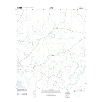
2012 Map of Elm Park
USGS Topo · Published 2012About this map
Thompson Creek defines the southern reaches of this West Feliciana Parish landscape, where the wooded drainages of Grants Bayou and Barrow Fork create a rhythmic pattern of ridges and valleys. Small settlements like Starhill and Elm Park serve as anchors in an area defined by rural homesteads and agricultural tracts. The map reveals a high concentration of local history markers, including several family-named burial grounds such as Starhill Cemetery, Washington Cemetery, and Butler Cemetery.
Find a feature on this map
71 named features on this map. Tap any name to fly to it.
Don’t see what you’re looking for? This feature index may not catch every label — zoom into the map to look around manually.
Map Details
Editions of this 2012 Elm Park Map
This is the sole edition of this map. No revisions or reprints were ever made.
Other maps of this area

1906 · Bayou Sara
USGS Topo · 1:125,000

1939 · St. Francisville
USGS Topo · 1:62,500

1939 · Zachary
USGS Topo · 1:62,500

1941 · Lost Creek
USGS Topo · 1:31,680

1945 · Jackson
USGS Topo · 1:31,680

1945 · Lost Creek
USGS Topo · 1:31,680

1953 · New Roads
USGS Topo · 1:24,000

1954 · Zachary
USGS Topo · 1:24,000

1954 · Port Hudson
USGS Topo · 1:24,000

1954 · Elm Park
USGS Topo · 1:24,000