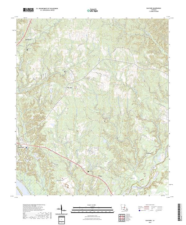
2024 Map of Elm Park
USGS Topo · Published 2024About this map
St. Francisville anchors the southwestern edge of this Louisiana landscape, where the town's historical grid meets the winding course of Alexander Creek. The terrain is defined by a dense network of waterways, including Thompson Creek along the eastern boundary and the complex branching of Grants Bayou and Chaney Creek. Moving inland from the river, small settlements such as Beachwood, Elm Park, and Starhill are connected by a web of local routes like Rosedown Plantation Rd and Stirling Rd.
Find a feature on this map
90 named features on this map. Tap any name to fly to it.
Don’t see what you’re looking for? This feature index may not catch every label — zoom into the map to look around manually.
Map Details
Editions of this 2024 Elm Park Map
This is the sole edition of this map. No revisions or reprints were ever made.
Other maps of this area

1906 · Bayou Sara
USGS Topo · 1:125,000

1939 · St. Francisville
USGS Topo · 1:62,500

1939 · Zachary
USGS Topo · 1:62,500

1941 · Lost Creek
USGS Topo · 1:31,680

1945 · Jackson
USGS Topo · 1:31,680

1945 · Lost Creek
USGS Topo · 1:31,680

1953 · New Roads
USGS Topo · 1:24,000

1954 · Zachary
USGS Topo · 1:24,000

1954 · Port Hudson
USGS Topo · 1:24,000

1954 · Elm Park
USGS Topo · 1:24,000