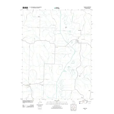
2012 Map of Elmer
USGS Topo · Published 2012About this map
The Chariton River carves a winding path through this portion of Macon County, defining a landscape of oxbows and river-bottom lakes such as Round Lake, Speno Lake, and Duck Hunters Lake. The settlement of Elmer sits at a junction of regional roads near the river, while the smaller village of Ethel anchors the southwest corner of the map along the railroad corridor. These towns are part of a broader agricultural grid connected by local routes like Evergreen Ave and Festival Ave.
Find a feature on this map
53 named features on this map. Tap any name to fly to it.
Don’t see what you’re looking for? This feature index may not catch every label — zoom into the map to look around manually.
Map Details
Editions of this 2012 Elmer Map
This is the sole edition of this map. No revisions or reprints were ever made.
Other maps of this area

1937 · Elmer
USGS Topo · 1:48,000

1938 · Kirksville
USGS Topo · 1:62,500

1940 · Kirksville
USGS Topo · 1:62,500

1942 · Elmer
USGS Topo · 1:62,500

1950 · New Cambria West
USGS Topo · 1:24,000

1951 · New Boston
USGS Topo · 1:24,000

1953 · Moberly
USGS Topo · 1:250,000

1954 · Centerville
USGS Topo · 1:250,000

1954 · Moberly
USGS Topo · 1:250,000

1957 · Moberly
USGS Topo · 1:250,000