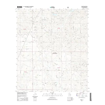
2015 Map of Elmer
USGS Topo · Published 2015About this map
Otis and the surrounding piney woods of Rapides Parish are defined here by a dense network of forest service roads and small cemeteries. This section of the Kisatchie National Forest is deeply carved by waterways including Spring Cr, Valentine Cr, and Big Brushy Cr, which feed into larger bodies like the Kincaid Reservoir and Valentine Lake. Local genealogy is well-represented through numerous family-named burial sites such as Rougeau Cem, Swann Cem, and Marler Cem, often located near crossroads and small settlements like Lisso and Lewiston. The landscape is a complex of creek bottoms and managed timberland, with fire routes like Fire Rte 217 and Fire Rte 282 providing access to the interior. The presence of Saint Peter Cem near Elmer at the southern edge of the map highlights the longstanding community ties within this forested region.
Find a feature on this map
59 named features on this map. Tap any name to fly to it.
Don’t see what you’re looking for? This feature index may not catch every label — zoom into the map to look around manually.
Map Details
Editions of this 2015 Elmer Map
This is the sole edition of this map. No revisions or reprints were ever made.
Other maps of this area
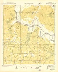
1932 · Boyce SW
USGS Topo · 1:31,680
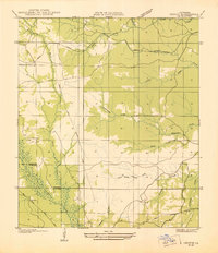
1937 · Chopin SE
USGS Topo · 1:31,680
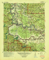
1941 · Boyce
USGS Topo · 1:62,500
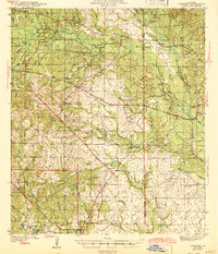
1943 · Leander
USGS Topo · 1:62,500
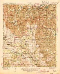
1944 · Chopin
USGS Topo · 1:62,500
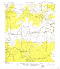
1945 · Boyce SE
USGS Topo · 1:31,680
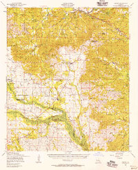
1948 · Chopin
USGS Topo · 1:62,500
1949 · Boyce SE
USGS Topo · 1:31,680

1953 · Alexandria
USGS Topo · 1:250,000
1954 · Leander
USGS Topo · 1:62,500