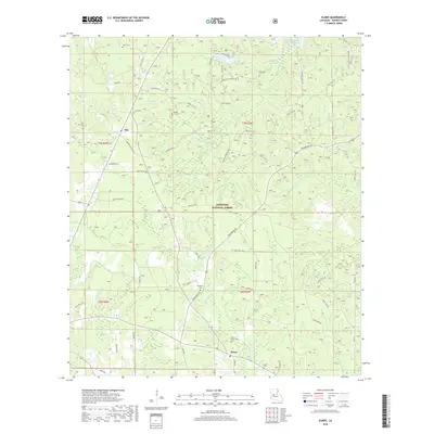
2018 Map of Elmer
USGS Topo · Published 2018About this map
Kisatchie National Forest defines the wooded landscape of western Rapides Parish, where the small settlements of Otis and Elmer are situated among a dense network of creek branches. This survey highlights a rural geography shaped by forestry and water, with Valentine Lake and the western edge of Kincaid Reservoir serving as prominent landmarks. The map is a significant resource for genealogists, as it identifies several family-named burial sites including Dyer Cem, Marler Cem, and Saint Peter Cem. Numerous local roads like Twin Bridges Rd and Walker Cutoff Rd trace the path between the drainages of Big Brushy Cr and Spring Cr, showing the persistent rural infrastructure of this Louisiana pinewoods region.
Find a feature on this map
53 named features on this map. Tap any name to fly to it.
Don’t see what you’re looking for? This feature index may not catch every label — zoom into the map to look around manually.
Map Details
Editions of this 2018 Elmer Map
This is the sole edition of this map. No revisions or reprints were ever made.
Other maps of this area
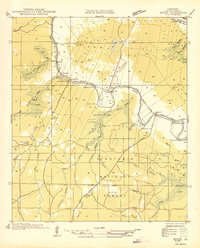
1932 · Boyce SW
USGS Topo · 1:31,680
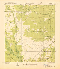
1937 · Chopin SE
USGS Topo · 1:31,680
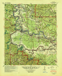
1941 · Boyce
USGS Topo · 1:62,500
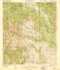
1943 · Leander
USGS Topo · 1:62,500
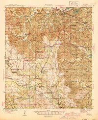
1944 · Chopin
USGS Topo · 1:62,500
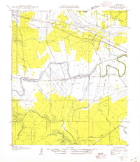
1945 · Boyce SE
USGS Topo · 1:31,680
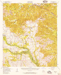
1948 · Chopin
USGS Topo · 1:62,500
1949 · Boyce SE
USGS Topo · 1:31,680

1953 · Alexandria
USGS Topo · 1:250,000
1954 · Leander
USGS Topo · 1:62,500