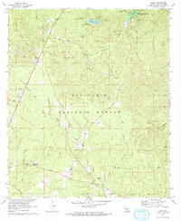
1971 Map of Elmer
USGS Topo · Published 1973About this map
Kisatchie National Forest dominates this section of Rapides Parish, where the timberlands are intersected by numerous drainages and family-named landmarks. The landscape in the early 1970s shows a mix of small rural settlements like Elmer and Otis connected by a network of backroads and an Old Railroad Grade that traces through the western half of the quadrangle. Significant water features include the Kincaid Reservoir in the northeast and Valentine Lake, which supports the Valentine Recreational Area and North Shore Campground. For genealogists and local historians, the map is remarkably detailed regarding community cornerstones, labeling several rural churches such as Fellowship Ch and New Sunrise Ch, alongside family cemeteries like Marler Cem, Rougeau Cem, and Swann Cem. Industrial footprints are visible through several gravel pits and a large Pipeline corridor.
Find a feature on this map
44 named features on this map. Tap any name to fly to it.
Don’t see what you’re looking for? This feature index may not catch every label — zoom into the map to look around manually.
Map Details
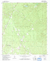
Editions of this 1971 Elmer Map
2 editions found
Other maps of this area

1932 · Boyce SW
USGS Topo · 1:31,680

1937 · Chopin SE
USGS Topo · 1:31,680

1941 · Boyce
USGS Topo · 1:62,500

1943 · Leander
USGS Topo · 1:62,500

1944 · Chopin
USGS Topo · 1:62,500

1945 · Boyce SE
USGS Topo · 1:31,680

1948 · Chopin
USGS Topo · 1:62,500

1949 · Boyce SE
USGS Topo · 1:31,680

1953 · Alexandria
USGS Topo · 1:250,000
1954 · Leander
USGS Topo · 1:62,500