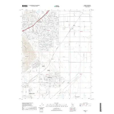
2018 Map of Elmira
USGS Topo · Published 2018About this map
Vacaville and Fairfield anchor this late 2010s landscape, where suburban expansion meets the agricultural and military traditions of Solano County. The map details the transition from the English Hills in the northwest to the flatlands of the Central Valley. A significant portion of the sheet is dedicated to Travis Air Force Base, showing the complex layout of runways and facilities that have long defined the local economy. Between the larger cities, smaller historical nodes like Elmira and Cannon persist alongside newer developments like Leisure Town. Transport corridors are prominent, including the Calif Pacific Rd railroad line and junctions such as Cordero Junction and Vacaville Junction. Water features like Barker Slough and Union Cr drain the lowlands, while the Vacaville Elmira Cem serves as a central point for local genealogical interest.
Find a feature on this map
38 named features on this map. Tap any name to fly to it.
Don’t see what you’re looking for? This feature index may not catch every label — zoom into the map to look around manually.
Map Details
Editions of this 2018 Elmira Map
This is the sole edition of this map. No revisions or reprints were ever made.
Other maps of this area

1896 · Carquinez Strait
USGS Topo · 1:62,500

1898 · Karquines
USGS Topo · 1:62,500

1901 · Karquines
USGS Topo · 1:62,500

1902 · Napa
USGS Topo · 1:125,000

1907 · Antioch
USGS Topo · 1:62,500

1908 · Vacaville
USGS Topo · 1:62,500

1908 · Antioch
USGS Topo · 1:62,500

1916 · Dixon
USGS Topo · 1:31,680

1916 · Maine Prairie
USGS Topo · 1:31,680

1917 · Wolfskill
USGS Topo · 1:31,680