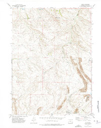
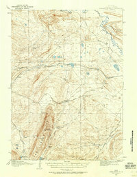
1971 Map of Elmo
USGS Topo · Published 1975About this map
Elmo sits at the southern edge of this landscape, a settlement defined by the surrounding extractive industry during the early 1970s. The specialized infrastructure of the Arch Mineral Corporation Railroad services the area, leading to a prominent tipple and an expansive Strip Mine that dominates the southeastern quadrant. This industrial footprint contrasts sharply with the arid natural drainage systems of the region, such as Hanna Draw and Stink Creek, which carve through the high-elevation terrain. To the north, the Medicine Bow R and the Medicine Bow Breaks reveal a rugged topography marked by steep elevation changes and natural landmarks like Red Hill. Managed water resources are also evident through the North Ditch and Middle Ditch, suggesting a historical attempt to channel seasonal flow across this carbon-rich Wyoming plateau.
Find a feature on this map
18 named features on this map. Tap any name to fly to it.
Don’t see what you’re looking for? This feature index may not catch every label — zoom into the map to look around manually.
Map Details
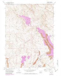
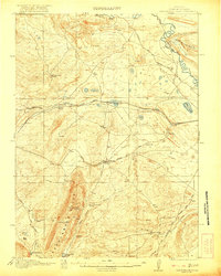
Editions of this 1971 Elmo Map
2 editions found
Other maps of this area
1893 · Fort Steele
USGS Topo · 1:125,000
1914 · Hanna
USGS Topo · 1:62,500
1914 · Saddleback Hills
USGS Topo · 1:62,500
1921 · Saddleback Hills
USGS Topo · 1:62,500
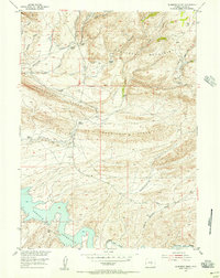
1953 · Schneider Ridge
USGS Topo · 1:24,000
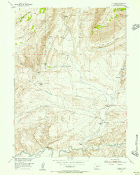
1953 · T E Ranch
USGS Topo · 1:24,000

1954 · Rawlins
USGS Topo · 1:250,000

1955 · Casper
USGS Topo · 1:250,000

1958 · Rawlins
USGS Topo · 1:250,000

1958 · Casper
USGS Topo · 1:250,000