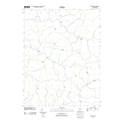
2011 Map of Elmwood
USGS Topo · Published 2011About this map
Thirteenmile Creek and Eighteenmile Creek define the drainage of this Mason County landscape, where deep hollows and narrow ridges dictate the patterns of rural settlement. Small communities like Elmwood and Tribble serve as local anchors connected by a network of ridge roads, including Cain Ridge Rd and Riffee Ridge Rd. The map reveals a high concentration of generational landmarks, from the Rockcastle Church near the northern border to secluded burial grounds such as Sayre Cemetery and Barnette Cemetery.
Find a feature on this map
80 named features on this map. Tap any name to fly to it.
Don’t see what you’re looking for? This feature index may not catch every label — zoom into the map to look around manually.
Map Details
Editions of this 2011 Elmwood Map
This is the sole edition of this map. No revisions or reprints were ever made.
Other maps of this area

1906 · Kenna
USGS Topo · 1:62,500

1906 · Winfield
USGS Topo · 1:62,500

1907 · Kenna
USGS Topo · 1:62,500

1907 · Ripley
USGS Topo · 1:62,500

1908 · Winfield
USGS Topo · 1:62,500

1908 · Ravenswood
USGS Topo · 1:62,500

1926 · Ravenswood
USGS Topo · 1:62,500

1926 · Ripley
USGS Topo · 1:62,500

1928 · Ravenswood
USGS Topo · 1:62,500

1928 · Ripley
USGS Topo · 1:62,500