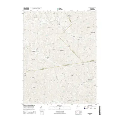
2014 Map of Elmwood
USGS Topo · Published 2014About this map
Tribble and Elmwood anchor this 2014 survey of the hilly country where Mason, Jackson, and Putnam counties converge. The landscape is defined by its deep, named hollows and winding ridges, where small settlements and family holdings are connected by a network of rural routes like Cain Ridge Rd and Tribble Rd. The map reveals a high concentration of local burial grounds and places of worship, including Mt Zion Cem and Walker Chapel, which serve as vital markers for genealogists and local historians tracing family lineages in this part of West Virginia.
Find a feature on this map
102 named features on this map. Tap any name to fly to it.
Don’t see what you’re looking for? This feature index may not catch every label — zoom into the map to look around manually.
Map Details
Editions of this 2014 Elmwood Map
This is the sole edition of this map. No revisions or reprints were ever made.
Other maps of this area

1906 · Kenna
USGS Topo · 1:62,500

1906 · Winfield
USGS Topo · 1:62,500

1907 · Kenna
USGS Topo · 1:62,500

1907 · Ripley
USGS Topo · 1:62,500

1908 · Winfield
USGS Topo · 1:62,500

1908 · Ravenswood
USGS Topo · 1:62,500

1926 · Ravenswood
USGS Topo · 1:62,500

1926 · Ripley
USGS Topo · 1:62,500

1928 · Ravenswood
USGS Topo · 1:62,500

1928 · Ripley
USGS Topo · 1:62,500