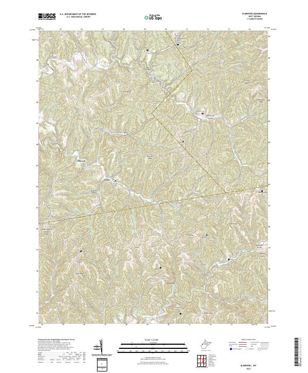
2023 Map of Elmwood
USGS Topo · Published 2023About this map
Elmwood and Tribble serve as the primary hubs for this hilly region along the county lines of Mason, Jackson, and Putnam. The landscape is defined by its numerous small valleys and hollows, including Long Hollow, Coal Hollow, and Tightsqueeze Hollow, which are drained by a complex network of creeks such as Thirteenmile Creek and Eighteenmile Creek. The settlement pattern follows these watercourses and ridgelines, with homes and farms clustered along secondary routes like Co Rte 60 and Waterloo Smith Church Rd.
Find a feature on this map
109 named features on this map. Tap any name to fly to it.
Don’t see what you’re looking for? This feature index may not catch every label — zoom into the map to look around manually.
Map Details
Editions of this 2023 Elmwood Map
This is the sole edition of this map. No revisions or reprints were ever made.
Other maps of this area

1906 · Kenna
USGS Topo · 1:62,500

1906 · Winfield
USGS Topo · 1:62,500

1907 · Kenna
USGS Topo · 1:62,500

1907 · Ripley
USGS Topo · 1:62,500

1908 · Winfield
USGS Topo · 1:62,500

1908 · Ravenswood
USGS Topo · 1:62,500

1926 · Ravenswood
USGS Topo · 1:62,500

1926 · Ripley
USGS Topo · 1:62,500

1928 · Ravenswood
USGS Topo · 1:62,500

1928 · Ripley
USGS Topo · 1:62,500