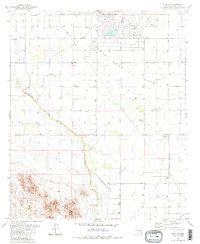
1981 Map of Eloy NW
USGS Topo · Published 1981About this map
The Santa Cruz Flats stretch across this part of Pinal County, showing a landscape defined by industrial-scale irrigation and desert agriculture in the early 1980s. A dense grid of section roads named for local families and industries, such as Sunland Gin Road and Pretzer Road, crisscrosses the lowlands, connecting numerous wells and agricultural features. To the south, the dramatic rising of the Sawtooth Mountains provides a sharp geological contrast to the level fields, containing localized mining activity like the Prospect and Guzzler sites.
Find a feature on this map
28 named features on this map. Tap any name to fly to it.
Don’t see what you’re looking for? This feature index may not catch every label — zoom into the map to look around manually.
Map Details
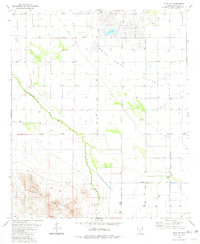
Editions of this 1981 Eloy NW Map
2 editions found
Other maps of this area

1922 · Casa Grande
USGS Topo · 1:62,500

1922 · Signal Peak
USGS Topo · 1:62,500

1924 · Signal Peak
USGS Topo · 1:62,500

1924 · Casa Grande
USGS Topo · 1:62,500

1942 · Silver Reef Mountains
USGS Topo · 1:62,500

1947 · Eloy
USGS Topo · 1:62,500

1948 · Eloy
USGS Topo · 1:62,500

1956 · Tucson
USGS Topo · 1:250,000

1958 · Tucson
USGS Topo · 1:250,000

1959 · Tucson
USGS Topo · 1:250,000