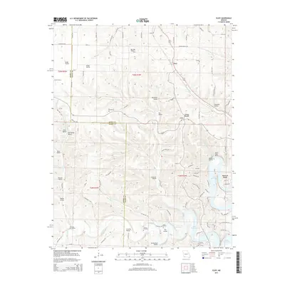
2015 Map of Elsey
USGS Topo · Published 2015About this map
Elsey serves as a central point in this topographic study of the Ozark plateau, situated along the county line where Stone County and Barry County meet. The landscape is defined by an intricate network of narrow valleys and ridges, named for early families and local geography, such as Bur Oak Hollow, Peavine Hollow, and Gravelly Hollow. To the southeast, the terrain gives way to the expansive waters of Table Rock Lake, where McCord Bend and Horse Shoe Bend create a distinctive shoreline for the Lakeview community. Numerous family burial grounds, including Summers Cemetery, Wilson Cemetery, and Hilton Cemetery, are preserved across the ridges, providing valuable locations for genealogists. The drainage pattern of Flat Creek, Carney Creek, and Little Dry Creek illustrates the complex hydrology that shaped the settlement patterns of this Missouri region before modern development reached the hills.
Find a feature on this map
90 named features on this map. Tap any name to fly to it.
Don’t see what you’re looking for? This feature index may not catch every label — zoom into the map to look around manually.
Map Details
Editions of this 2015 Elsey Map
This is the sole edition of this map. No revisions or reprints were ever made.
Other maps of this area

1907 · Forsyth
USGS Topo · 1:125,000

1927 · Shell Knob
USGS Topo · 1:62,500

1942 · Aurora
USGS Topo · 1:62,500

1945 · Harrison
USGS Topo · 1:250,000

1945 · Aurora
USGS Topo · 1:62,500

1949 · Harrison
USGS Topo · 1:250,000

1950 · Shell Knob
USGS Topo · 1:62,500

1954 · Harrison
USGS Topo · 1:250,000
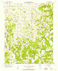
1955 · Hurley
USGS Topo · 1:24,000
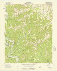
1956 · Reeds Spring
USGS Topo · 1:24,000