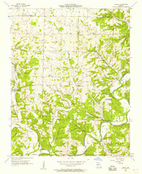
1955 Map of Hurley
USGS Topo · Published 1957About this map
The James River and Crane Creek define the geography of this mid-century Missouri landscape, where the town of Hurley serves as a central hub for the surrounding rural townships of Union, Lincoln, and Ponce de Leon. Small agricultural communities and family-named landmarks are scattered throughout the hilly terrain, including the uniquely named Possum Trot and Union City. The map reveals a deeply established social fabric evidenced by numerous country churches like Wright Chapel and Union Ridge Ch, along with family burial grounds such as Wright Cem and White Cem.
Find a feature on this map
45 named features on this map. Tap any name to fly to it.
Don’t see what you’re looking for? This feature index may not catch every label — zoom into the map to look around manually.
Map Details
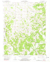
Editions of this 1955 Hurley Map
2 editions found
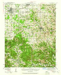
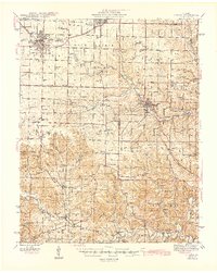
Other maps of this area

1884 · Springfield
USGS Topo · 1:125,000

1886 · Greenfield
USGS Topo · 1:125,000

1886 · Springfield
USGS Topo · 1:125,000

1888 · Greenfield
USGS Topo · 1:125,000

1907 · Forsyth
USGS Topo · 1:125,000

1919 · Halltown
USGS Topo · 1:62,500
1942 · Aurora
USGS Topo · 1:62,500

1945 · Harrison
USGS Topo · 1:250,000
1945 · Aurora
USGS Topo · 1:62,500

1949 · Harrison
USGS Topo · 1:250,000