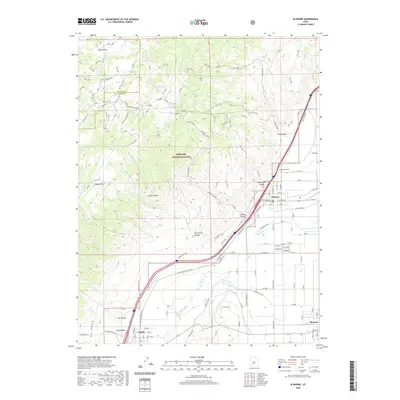
2020 Map of Elsinore
USGS Topo · Published 2020About this map
The town of Elsinore and its surrounding agricultural valley are defined by a complex network of waterways, including the Sevier River and its accompanying irrigation systems. This 2020 survey illustrates the vital role of the Richfield Canal, Sevier Valley Canal, Brooklyn Canal, and Monroe Canal in transforming the arid landscape of Joseph Flats and Dry Hollow into a productive farming corridor. To the west, the boundary of Fishlake National Forest marks a sharp transition from the valley floor into the rugged elevations of Albinus Canyon and Coyote Hollow.
Find a feature on this map
79 named features on this map. Tap any name to fly to it.
Don’t see what you’re looking for? This feature index may not catch every label — zoom into the map to look around manually.
Map Details
Editions of this 2020 Elsinore Map
This is the sole edition of this map. No revisions or reprints were ever made.
Other maps of this area

1885 · Beaver
USGS Topo · 1:250,000

1932 · Sevier
USGS Topo · 1:62,500

1935 · Sevier
USGS Topo · 1:62,500

1940 · Monroe
USGS Topo · 1:62,500

1944 · Monroe
USGS Topo · 1:62,500

1953 · Richfield
USGS Topo · 1:250,000

1958 · Richfield
USGS Topo · 1:250,000

1961 · Richfield
USGS Topo · 1:62,500

1962 · Fillmore
USGS Topo · 1:62,500
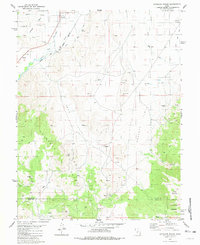
1980 · Antelope Range
USGS Topo · 1:24,000