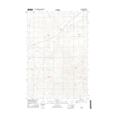
2017 Map of Elso
USGS Topo · Published 2017About this map
Musselshell River defines the central corridor of this Central Montana landscape, carving a path between the northern high ground and the broken coulees to the south. The small settlement of Elso sits along its banks, serving as a focal point for a network of rural routes including Standley Crk Rd and the aptly named Shoe String Rd. The reliance on water management in this arid region is evidenced by infrastructure like Glennie Ditch and Naderman Ditch, which redirect flow across the plains.
Find a feature on this map
28 named features on this map. Tap any name to fly to it.
Don’t see what you’re looking for? This feature index may not catch every label — zoom into the map to look around manually.
Map Details
Editions of this 2017 Elso Map
This is the sole edition of this map. No revisions or reprints were ever made.
Other maps of this area
1954 · Roundup
USGS Topo · 1:250,000
1958 · Roundup
USGS Topo · 1:250,000
1979 · Roundup
USGS Topo · 1:100,000
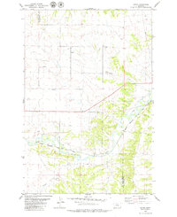
1979 · Bundy
USGS Topo · 1:24,000
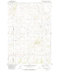
1979 · Timber Buttes South
USGS Topo · 1:24,000
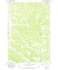
1979 · Harper Coulee
USGS Topo · 1:24,000
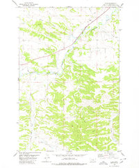
1979 · Elso
USGS Topo · 1:24,000
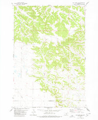
1979 · Hay Basin NE
USGS Topo · 1:24,000
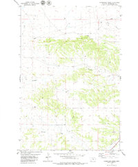
1979 · Horsethief Creek
USGS Topo · 1:24,000
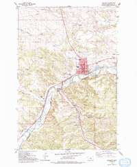
1979 · Roundup
USGS Topo · 1:24,000