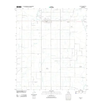
2012 Map of Elton
USGS Topo · Published 2012About this map
The town of Elton serves as the primary hub in this portion of Jefferson Davis Parish, situated at the intersection of a well-defined grid of local roads and rail access. The surrounding landscape is defined by its agricultural and industrial character, with extensive irrigation and drainage networks including W Bayou Grand Marais and Bayou Alligator. The region's economic history is tied to energy extraction, evidenced by the presence of the West Tepetate Oil and Gas Field and the South Elton Oil and Gas Field.
Find a feature on this map
58 named features on this map. Tap any name to fly to it.
Don’t see what you’re looking for? This feature index may not catch every label — zoom into the map to look around manually.
Map Details
Editions of this 2012 Elton Map
This is the sole edition of this map. No revisions or reprints were ever made.
Other maps of this area

1947 · Evangeline
USGS Topo · 1:31,680

1947 · Kinder
USGS Topo · 1:31,680

1947 · Fruge Lake
USGS Topo · 1:31,680

1947 · Oberlin
USGS Topo · 1:31,680

1947 · Pine Island
USGS Topo · 1:31,680

1947 · Elton
USGS Topo · 1:31,680

1947 · Hathaway
USGS Topo · 1:31,680

1947 · Basile
USGS Topo · 1:31,680

1949 · Bayou Blue
USGS Topo · 1:31,680

1949 · Basile
USGS Topo · 1:31,680