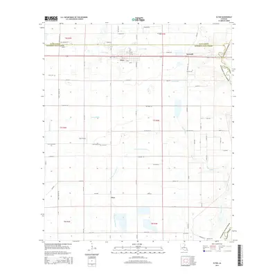
2015 Map of Elton
USGS Topo · Published 2015About this map
The town of Elton sits at the intersection of a vast network of section roads and drainage gullies in western Louisiana. This landscape is defined by the proximity of the Allen Parish and Jefferson Davis Parish line, which cuts through the northern portion of the map near the settlement of Barnsdall. To the south, the community of China remains a distinct marker in a landscape shaped by watercourses like the W Bayou Grand Marais and Bayou Alligator. Genealogists will find several burial grounds identified, including Liberty Cem, Chretien Cem, and Bertrand Cem. The presence of Tietjes Airport and numerous local roads like Shell Quarters Rd and Doise Rd illustrate the local transport and agricultural framework that has sustained these communities for generations.
Find a feature on this map
69 named features on this map. Tap any name to fly to it.
Don’t see what you’re looking for? This feature index may not catch every label — zoom into the map to look around manually.
Map Details
Editions of this 2015 Elton Map
This is the sole edition of this map. No revisions or reprints were ever made.
Other maps of this area

1947 · Evangeline
USGS Topo · 1:31,680

1947 · Kinder
USGS Topo · 1:31,680

1947 · Fruge Lake
USGS Topo · 1:31,680

1947 · Oberlin
USGS Topo · 1:31,680

1947 · Pine Island
USGS Topo · 1:31,680

1947 · Elton
USGS Topo · 1:31,680

1947 · Hathaway
USGS Topo · 1:31,680

1947 · Basile
USGS Topo · 1:31,680

1949 · Bayou Blue
USGS Topo · 1:31,680

1949 · Basile
USGS Topo · 1:31,680