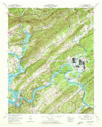
1968 Map of Elverton
USGS Topo · Published 1972About this map
The US Atomic Energy Commission restricted area dominates the eastern landscape of this Roane County region, showing the Cold War-era footprint of the Oak Ridge Reservation. This federal presence sits alongside the intricate topography of Blackoak Ridge and Pine Ridge, where the winding Clinch River and Emory River meet. The map documents a complex rural-to-industrial landscape where established settlements like Elverton and DeArmond remain near modern infrastructure, including the Southern railroad and a large filtration plant.
Find a feature on this map
64 named features on this map. Tap any name to fly to it.
Don’t see what you’re looking for? This feature index may not catch every label — zoom into the map to look around manually.
Map Details
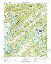
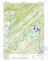
Editions of this 1968 Elverton Map
3 editions found
Other maps of this area

1887 · Kingston
USGS Topo · 1:125,000

1891 · Kingston
USGS Topo · 1:125,000

1893 · Briceville
USGS Topo · 1:125,000

1893 · Kingston
USGS Topo · 1:125,000

1895 · Wartburg
USGS Topo · 1:125,000

1895 · Loudon
USGS Topo · 1:125,000

1895 · Briceville
USGS Topo · 1:125,000

1896 · Wartburg
USGS Topo · 1:125,000

1896 · Briceville
USGS Topo · 1:125,000

1935 · Camp Austin
USGS Topo · 1:24,000