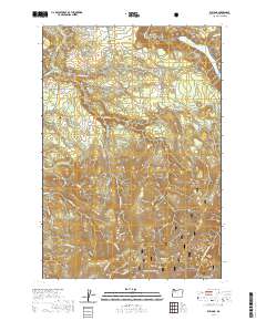
2020 Map of Elwood
USGS Topo · Published 2020About this map
Springwater and Dodge occupy the northern reaches of this Clackamas County landscape, where the agricultural plateaus of the Willamette Valley fringe begin to transition into the steeper drainages of the Cascades. The settlement of Elwood is marked by the presence of the Elwood Cem near S Log House Rd, a vital point of reference for local family history and genealogy. To the northeast, the North Fork Reservoir pools at the edge of the sheet, while the southern half of the map is dominated by the protected timberlands of the Mount Hood National Forest.
Find a feature on this map
68 named features on this map. Tap any name to fly to it.
Don’t see what you’re looking for? This feature index may not catch every label — zoom into the map to look around manually.
Map Details
Editions of this 2020 Elwood Map
This is the sole edition of this map. No revisions or reprints were ever made.
Other maps of this area

1911 · Boring
USGS Topo · 1:48,000

1914 · Boring
USGS Topo · 1:62,500

1916 · Estacada
USGS Topo · 1:125,000

1940 · Boring
USGS Topo · 1:62,500

1948 · Vancouver
USGS Topo · 1:250,000

1950 · Vancouver
USGS Topo · 1:250,000

1950 · Vancouver
USGS Topo · 1:250,000
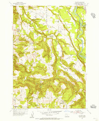
1954 · Redland
USGS Topo · 1:24,000
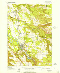
1954 · Estacada
USGS Topo · 1:24,000

1955 · Colton
USGS Topo · 1:62,500