
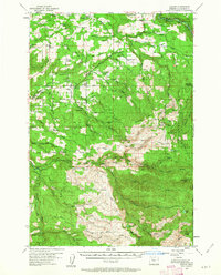
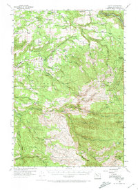
1955 Map of Colton
USGS Topo · Published 1957About this map
Colton and Old Colton serve as central points in this mid-century portrait of Clackamas County, where the landscape is defined by the transition from agricultural clearings to the dense timber of the Mt Hood National Forest. The map reveals a working forest and river system, with numerous Millpond features and a local Mill near Jackson Road indicating the area's reliance on the lumber industry. To the north, settlements like Upper Highland and Highland are reached via named local routes such as Clarkes Road and Unger Road.
Find a feature on this map
76 named features on this map. Tap any name to fly to it.
Don’t see what you’re looking for? This feature index may not catch every label — zoom into the map to look around manually.
Map Details
Editions of this 1955 Colton Map
3 editions found
Other maps of this area

1911 · Boring
USGS Topo · 1:48,000

1914 · Boring
USGS Topo · 1:62,500

1914 · Oregon City
USGS Topo · 1:62,500

1916 · Estacada
USGS Topo · 1:125,000

1929 · Mill City
USGS Topo · 1:125,000

1939 · Molalla
USGS Topo · 1:62,500

1939 · Oregon City
USGS Topo · 1:62,500

1940 · Molalla
USGS Topo · 1:62,500

1940 · Boring
USGS Topo · 1:62,500

1941 · Oregon City
USGS Topo · 1:62,500