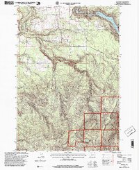
1997 Map of Elwood
USGS Topo · Published 1999About this map
Springwater and the nearby Elwood community anchor this landscape of the Clackamas foothills in the late 1990s. The map illustrates a transitional geography where agricultural fields and small settlements like Dodge give way to the dense timberlands of the Mt Hood National Forest. Local history is preserved in landmarks such as the Dorn Cem and the small Fire Sta in Elwood, while the economy is marked by a Quarry and the managed waters of the Clackamas River.
Find a feature on this map
17 named features on this map. Tap any name to fly to it.
Don’t see what you’re looking for? This feature index may not catch every label — zoom into the map to look around manually.
Map Details
Editions of this 1997 Elwood Map
This is the sole edition of this map. No revisions or reprints were ever made.
Other maps of this area

1911 · Boring
USGS Topo · 1:48,000

1914 · Boring
USGS Topo · 1:62,500

1916 · Estacada
USGS Topo · 1:125,000

1940 · Boring
USGS Topo · 1:62,500

1948 · Vancouver
USGS Topo · 1:250,000

1950 · Vancouver
USGS Topo · 1:250,000

1950 · Vancouver
USGS Topo · 1:250,000
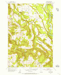
1954 · Redland
USGS Topo · 1:24,000
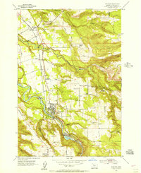
1954 · Estacada
USGS Topo · 1:24,000

1955 · Colton
USGS Topo · 1:62,500