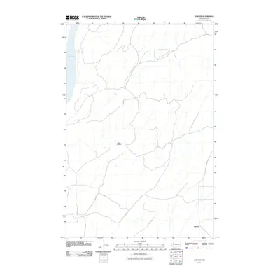
2011 Map of Elwood
USGS Topo · Published 2011About this map
Lake Sacajawea defines the western edge of this Walla Walla County landscape, where the plateau meets the Snake River drainage. The small settlement of Elwood sits in the southeast, serving as a focal point for a network of rural routes that crisscross the agricultural uplands. The terrain is deeply incised by Walker Canyon, a significant geographic feature that dictates the path of local travel. Historically, this area relies on a system of roads named for local families and landmarks, such as Wooden Rd and Harsell Rd. These thoroughfares, including the arterial Eureka-North Rd, connect the high country to the river valley, illustrating the enduring spatial layout of eastern Washington's farming communities during the early 21st century.
Find a feature on this map
12 named features on this map. Tap any name to fly to it.
Don’t see what you’re looking for? This feature index may not catch every label — zoom into the map to look around manually.
Map Details
Editions of this 2011 Elwood Map
This is the sole edition of this map. No revisions or reprints were ever made.
Other maps of this area

1915 · Wallulah
USGS Topo · 1:96,000

1916 · Connell
USGS Topo · 1:125,000

1918 · Connell
USGS Topo · 1:125,000

1918 · Wallula
USGS Topo · 1:125,000

1919 · Walla Walla
USGS Topo · 1:125,000

1921 · Walla Walla
USGS Topo · 1:125,000

1948 · Ayer
USGS Topo · 1:62,500

1950 · Haas
USGS Topo · 1:62,500

1953 · Walla Walla
USGS Topo · 1:250,000

1958 · Walla Walla
USGS Topo · 1:250,000