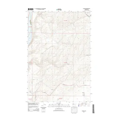
2013 Map of Elwood
USGS Topo · Published 2013About this map
Elwood and the broad agricultural expanse of Eureka Flat anchor this landscape along the border of Franklin and Walla Walla Counties. The map reveals a region defined by its rugged drainages and carefully gridded rural infrastructure, where Walker Canyon cuts deeply through the terrain. To the northwest, the waters of Lake Sacajawea mark the edge of the Snake River system, providing a stark contrast to the surrounding upland plateaus.
Find a feature on this map
23 named features on this map. Tap any name to fly to it.
Don’t see what you’re looking for? This feature index may not catch every label — zoom into the map to look around manually.
Map Details
Editions of this 2013 Elwood Map
This is the sole edition of this map. No revisions or reprints were ever made.
Other maps of this area

1915 · Wallulah
USGS Topo · 1:96,000

1916 · Connell
USGS Topo · 1:125,000

1918 · Connell
USGS Topo · 1:125,000

1918 · Wallula
USGS Topo · 1:125,000

1919 · Walla Walla
USGS Topo · 1:125,000

1921 · Walla Walla
USGS Topo · 1:125,000

1948 · Ayer
USGS Topo · 1:62,500

1950 · Haas
USGS Topo · 1:62,500

1953 · Walla Walla
USGS Topo · 1:250,000

1958 · Walla Walla
USGS Topo · 1:250,000