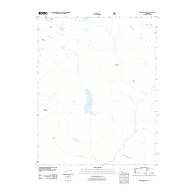
2011 Map of Emerald Lake
USGS Topo · Published 2011About this map
Emerald Lake and Little Emerald Lake dominate this alpine landscape, where the Los Pinos River gathers from numerous high-elevation tributaries. This 2011 survey by the U.S. Geological Survey illustrates a terrain defined by dramatic vertical relief and water distribution, from the southern Blue Spruce Canyon to the northern reaches of Buffalo Peak. The map highlights a network of mountain basins and peaks, including Mount Oso and Table Mountain, which frame remote areas like Barebottom Park.
Find a feature on this map
37 named features on this map. Tap any name to fly to it.
Don’t see what you’re looking for? This feature index may not catch every label — zoom into the map to look around manually.
Map Details
Editions of this 2011 Emerald Lake Map
This is the sole edition of this map. No revisions or reprints were ever made.
Other maps of this area

1900 · Needle Mountains
USGS Topo · 1:62,500

1902 · Needle Mountains
USGS Topo · 1:62,500

1905 · San Cristobal
USGS Topo · 1:125,000

1907 · San Cristobal
USGS Topo · 1:125,000

1908 · Ignacio
USGS Topo · 1:125,000

1924 · Ignacio
USGS Topo · 1:125,000

1924 · Pagosa Springs
USGS Topo · 1:125,000

1927 · Pagosa Springs
USGS Topo · 1:125,000

1945 · Durango
USGS Topo · 1:250,000

1953 · Durango
USGS Topo · 1:250,000