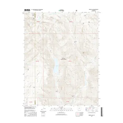
2016 Map of Emerald Lake
USGS Topo · Published 2016About this map
Emerald Lake and its smaller counterpart, Little Emerald Lake, form the centerpiece of this high-elevation wilderness within the San Juan National Forest. Situated along the boundary of La Plata and Hinsdale counties, the terrain is defined by a series of steep drainages and peaks, including Mt Oso and Buffalo Peak. The hydrology is complex, with numerous high-altitude water bodies such as Lake Mary Alice, Moon Lake, and the Flint Lakes feeding into systems like the Los Pinos River.
Find a feature on this map
48 named features on this map. Tap any name to fly to it.
Don’t see what you’re looking for? This feature index may not catch every label — zoom into the map to look around manually.
Map Details
Editions of this 2016 Emerald Lake Map
This is the sole edition of this map. No revisions or reprints were ever made.
Other maps of this area
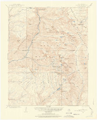
1900 · Needle Mountains
USGS Topo · 1:62,500
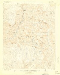
1902 · Needle Mountains
USGS Topo · 1:62,500
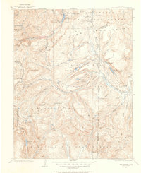
1905 · San Cristobal
USGS Topo · 1:125,000
1907 · San Cristobal
USGS Topo · 1:125,000
1908 · Ignacio
USGS Topo · 1:125,000
1924 · Ignacio
USGS Topo · 1:125,000
1924 · Pagosa Springs
USGS Topo · 1:125,000
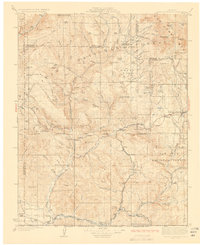
1927 · Pagosa Springs
USGS Topo · 1:125,000

1945 · Durango
USGS Topo · 1:250,000

1953 · Durango
USGS Topo · 1:250,000