
1943 Map of Emerald Mtn
USGS Topo · Published 1943About this map
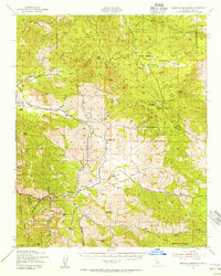
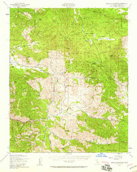
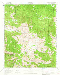
Sequoia National Forest dominates the high country of this 1943 survey, where a network of mountain meadows and resource extraction points defines the landscape. The interior reaches of the Piute Mountains are marked by sites like Claraville and the Horn Bros Sawmill, alongside numerous livestock operations such as Schneider Piute Ranch and the 7 T Ranch. These labels indicate a mid-century economy still deeply rooted in timber, cattle, and high-altitude grazing.
Find a feature on this map
75 named features on this map. Tap any name to fly to it.
Don’t see what you’re looking for? This feature index may not catch every label — zoom into the map to look around manually.
Map Details
Editions of this 1943 Emerald Mtn Map
4 editions found
Other maps of this area

1906 · Kernville
USGS Topo · 1:125,000

1908 · Kernville
USGS Topo · 1:125,000

1914 · Caliente
USGS Topo · 1:125,000

1915 · Mojave
USGS Topo · 1:125,000

1920 · Delonagha
USGS Topo · 1:62,500

1926 · Glennville
USGS Topo · 1:62,500

1936 · Tobias Peak
USGS Topo · 1:125,000

1943 · Tehachapi
USGS Topo · 1:62,500

1943 · Cross Mountain
USGS Topo · 1:62,500

1943 · Cummings Mountain
USGS Topo · 1:62,500