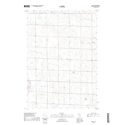
2018 Map of Emerald
USGS Topo · Published 2018About this map
Emerald and Cylon anchor this agricultural landscape in Saint Croix County, where the headwaters of several significant regional waterways emerge. The terrain is defined by the drainage patterns of the Rush River and Eau Galle River to the south, while the S Fork Willow River and Hutton Cr cut through the northern sections. This 2018 survey reveals a rural infrastructure built around a grid of county highways and local avenues, supporting scattered farmsteads and small private aviation strips such as Cub Bear Airport and Windsong Farm Airport. For local historians and genealogists, the map identifies specific landmarks like Holy Rosary Cem near the northern boundary and Greenwood Cem to the east. The presence of these cemeteries alongside the intersection of Co HWY G and Co RD G illustrates the enduring layout of these rural Wisconsin townships.
Find a feature on this map
26 named features on this map. Tap any name to fly to it.
Don’t see what you’re looking for? This feature index may not catch every label — zoom into the map to look around manually.
Map Details
Editions of this 2018 Emerald Map
This is the sole edition of this map. No revisions or reprints were ever made.
Other maps of this area

1946 · Knapp
USGS Topo · 1:62,500

1948 · Downing
USGS Topo · 1:62,500

1949 · Knapp
USGS Topo · 1:62,500

1949 · Baldwin
USGS Topo · 1:62,500

1950 · Downing
USGS Topo · 1:62,500

1950 · Deer Park
USGS Topo · 1:62,500

1953 · Saint Paul
USGS Topo · 1:250,000

1953 · Stillwater
USGS Topo · 1:250,000

1955 · Stillwater
USGS Topo · 1:250,000

1958 · Stillwater
USGS Topo · 1:250,000