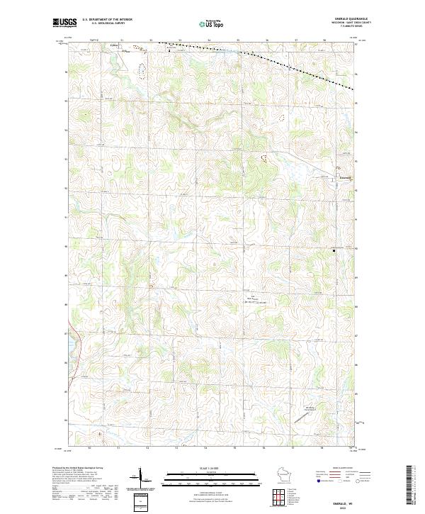
2022 Map of Emerald
USGS Topo · Published 2022About this map
St. Croix County agriculture and rural infrastructure define this landscape between the small communities of Cylon and Emerald. The terrain is shaped by a dense network of tributaries, including the headwaters of the Rush River, Carr Cr, and the winding Hutton Cr, which cut through the agricultural sections. The map reveals the persistence of early regional landmarks like the Holy Rosary Cem and Greenwood Cem, which serve as vital touchstones for genealogical research in this part of Wisconsin.
Find a feature on this map
35 named features on this map. Tap any name to fly to it.
Don’t see what you’re looking for? This feature index may not catch every label — zoom into the map to look around manually.
Map Details
Editions of this 2022 Emerald Map
This is the sole edition of this map. No revisions or reprints were ever made.
Other maps of this area

1946 · Knapp
USGS Topo · 1:62,500

1948 · Downing
USGS Topo · 1:62,500

1949 · Knapp
USGS Topo · 1:62,500

1949 · Baldwin
USGS Topo · 1:62,500

1950 · Downing
USGS Topo · 1:62,500

1950 · Deer Park
USGS Topo · 1:62,500

1953 · Saint Paul
USGS Topo · 1:250,000

1953 · Stillwater
USGS Topo · 1:250,000

1955 · Stillwater
USGS Topo · 1:250,000

1958 · Stillwater
USGS Topo · 1:250,000