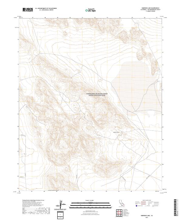
2021 Map of Emerson Lake
USGS Topo · Published 2021About this map
Mojave Desert terrain dominates this San Bernardino County survey, revealing a landscape defined by isolated tracks and remote access routes. The network of unpaved paths, including Mustang Trl and Ghost Rd, suggests a region where movement is dictated by the natural topography of the desert floor and its surrounding heights. A notable presence of specialized routes like Creole Mine Rd indicates the historical importance of mineral exploration in this part of California, connecting industrial interests to the wider desert expanses.
Find a feature on this map
13 named features on this map. Tap any name to fly to it.
Don’t see what you’re looking for? This feature index may not catch every label — zoom into the map to look around manually.
Map Details
Editions of this 2021 Emerson Lake Map
This is the sole edition of this map. No revisions or reprints were ever made.
Other maps of this area

1901 · Southern California Sheet No. 1
USGS Topo · 1:250,000

1902 · San Gorgonio
USGS Topo · 1:125,000

1904 · Southern California Sheet No. 1
USGS Topo · 1:250,000

1953 · San Bernardino
USGS Topo · 1:250,000

1954 · Galway Lake
USGS Topo · 1:24,000

1954 · Hidalgo Mtn
USGS Topo · 1:24,000

1954 · Emerson Lake
USGS Topo · 1:24,000

1955 · Lavic SE
USGS Topo · 1:24,000

1955 · Goat Mountain
USGS Topo · 1:24,000

1955 · Old Woman Springs
USGS Topo · 1:62,500