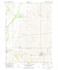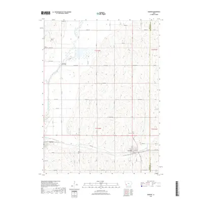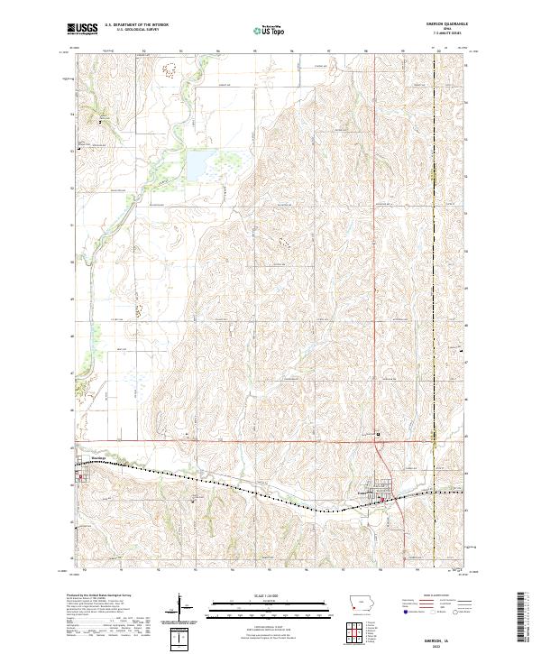
2022 Map of Emerson
USGS Topo · Published 2022About this map
Emerson and Hastings serve as the primary hubs in this section of Mills County, where the agricultural grid meets the winding path of the West Nishnabotna River. The landscape is defined by the intersection of numerous rural routes, including Co Hwy H34 and Co Hwy H26, which connect scattered homesteads to the river valley. The region is notable for its high density of well-preserved cemeteries that dot the countryside, providing a clear window into the area's genealogical history.
Find a feature on this map
57 named features on this map. Tap any name to fly to it.
Don’t see what you’re looking for? This feature index may not catch every label — zoom into the map to look around manually.
Map Details
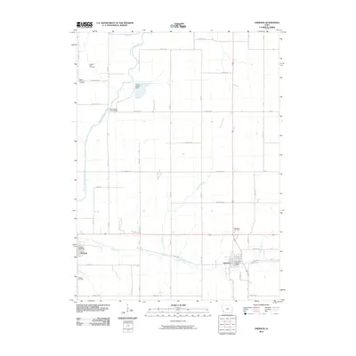
Editions of this 2022 Emerson Map
This is the sole edition of this map. No revisions or reprints were ever made.
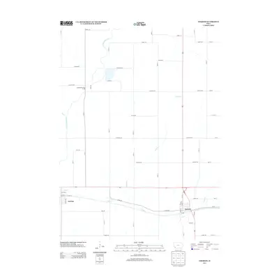
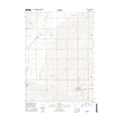
Historical Maps of Emerson Through Time
6 maps found