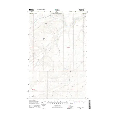
2017 Map of Emigrant Gap
USGS Topo · Published 2017About this map
Emigrant Gap defines this high-plains landscape along the international border in northern Glacier County. The land is shaped by the sophisticated water management of the Saint Mary Canal, which skirts the northern reaches of the quadrangle near the Canada-United States border. This hydraulic infrastructure represents a critical lifeline for the region's ranching economy, visible in the network of rural routes like Fox Ranch Rd and 3 C Bar Rd that cross the open terrain.
Find a feature on this map
26 named features on this map. Tap any name to fly to it.
Don’t see what you’re looking for? This feature index may not catch every label — zoom into the map to look around manually.
Map Details
Editions of this 2017 Emigrant Gap Map
This is the sole edition of this map. No revisions or reprints were ever made.
Other maps of this area
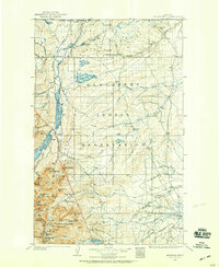
1901 · Browning
USGS Topo · 1:125,000
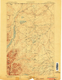
1903 · Browning
USGS Topo · 1:125,000
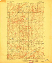
1911 · Blackfoot
USGS Topo · 1:125,000
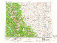
1960 · Cut Bank
USGS Topo · 1:250,000
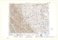
1963 · Cut Bank
USGS Topo · 1:250,000
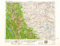
1964 · Cut Bank
USGS Topo · 1:250,000
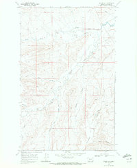
1968 · Hoodoo Hill
USGS Topo · 1:24,000
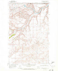
1968 · Emigrant Gap
USGS Topo · 1:24,000
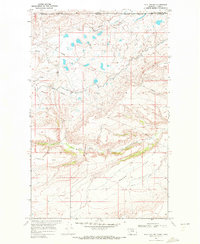
1968 · Hall Coulee
USGS Topo · 1:24,000
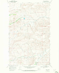
1968 · Wetzel
USGS Topo · 1:24,000