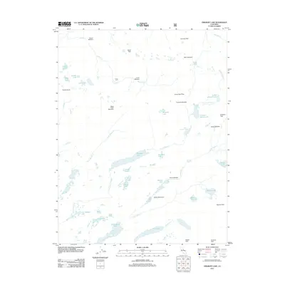
2012 Map of Emigrant Lake
USGS Topo · Published 2012About this map
Emigrant Lake and the surrounding high-elevation wilderness define this 2012 survey, which documents a complex network of alpine lakes and meadows. The landscape is shaped by the upper reaches of N Fork Cherry Cr and E Fork Cherry Cr, which drain through a series of prominent peaks including Black Hawk Mountain and Kennedy Peak. Named points like Sheep Camp and Emigrant Meadow suggest the historical grazing and transit patterns of the region, while the Sachse Monument stands as a specific landmark in the southeast near Horse Meadow Horse Meadow Reservoir. A remarkable density of small water bodies, from Huckleberry Lake to Sardella Lake, is captured in high detail, reflecting the hydrological character of this part of the Sierra Nevada. These features, along with crossings like Brown Bear Pass and Emigrant Pass, provide a detailed record of the trails and natural corridors used by travelers.
Find a feature on this map
51 named features on this map. Tap any name to fly to it.
Don’t see what you’re looking for? This feature index may not catch every label — zoom into the map to look around manually.
Map Details
Editions of this 2012 Emigrant Lake Map
This is the sole edition of this map. No revisions or reprints were ever made.
Other maps of this area
1896 · Dardanelles
USGS Topo · 1:125,000
1898 · Dardanelles
USGS Topo · 1:125,000

1948 · Walker Lake
USGS Topo · 1:250,000
1954 · Pickel Meadow
USGS Topo · 1:24,000
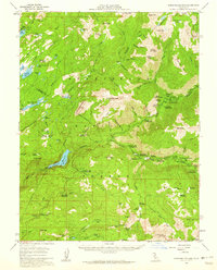
1956 · Dardanelles Cone
USGS Topo · 1:62,500
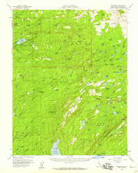
1956 · Pinecrest
USGS Topo · 1:62,500
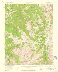
1956 · Sonora Pass
USGS Topo · 1:62,500
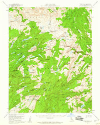
1956 · Tower Peak
USGS Topo · 1:62,500
1957 · Walker Lake
USGS Topo · 1:250,000
1962 · Walker Lake
USGS Topo · 1:250,000