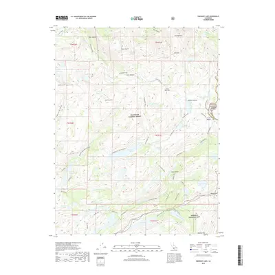
2018 Map of Emigrant Lake
USGS Topo · Published 2018About this map
Stanislaus National Forest and Yosemite National Park converge in this high-altitude wilderness survey, where the Tuolumne and Mono county lines meet. The landscape is defined by a dense network of alpine water bodies, including the central Emigrant Lake, Bigelow Lake, and the clustered Fraser Lakes. High-country navigation follows established paths like the Huckleberry Trail and Crabtree, which connect remote outposts such as Lunch Meadow and Horse Meadow. Significant granite features like Relief Peak and Granite Dome tower over the drainage basins of the N Fork Cherry Cr and E Fork Cherry Cr. This modern topographic record captures the transition between protected forest lands and the northern edge of Yosemite, preserving the nomenclature of historic passes like Emigrant Pass and Brown Bear Pass used by early travelers across the Sierra crest.
Find a feature on this map
68 named features on this map. Tap any name to fly to it.
Don’t see what you’re looking for? This feature index may not catch every label — zoom into the map to look around manually.
Map Details
Editions of this 2018 Emigrant Lake Map
This is the sole edition of this map. No revisions or reprints were ever made.
Other maps of this area
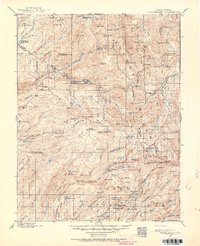
1896 · Dardanelles
USGS Topo · 1:125,000
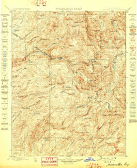
1898 · Dardanelles
USGS Topo · 1:125,000

1948 · Walker Lake
USGS Topo · 1:250,000
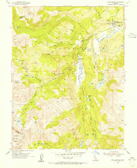
1954 · Pickel Meadow
USGS Topo · 1:24,000
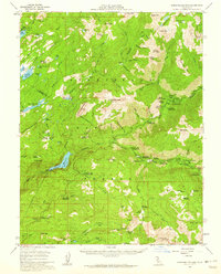
1956 · Dardanelles Cone
USGS Topo · 1:62,500
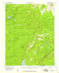
1956 · Pinecrest
USGS Topo · 1:62,500
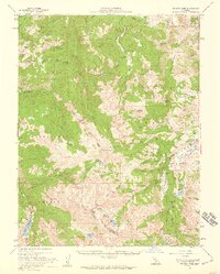
1956 · Sonora Pass
USGS Topo · 1:62,500
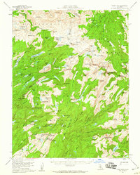
1956 · Tower Peak
USGS Topo · 1:62,500
1957 · Walker Lake
USGS Topo · 1:250,000
1962 · Walker Lake
USGS Topo · 1:250,000