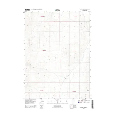
2014 Map of Emigrant Springs
USGS Topo · Published 2014About this map
Emigrant Springs sits within a high-elevation landscape of the Delano Mountains, where seasonal drainage and isolated water sources defined movement through this part of Elko County. The terrain is marked by a network of ephemeral watercourses including Devils Cr and Rock Spring Cr, which carve through deep incisions like Texas Spring Canyon. This 2014 survey reveals a territory primarily organized by public land divisions, with very few modern improvements beyond the solitary trace of CR-763. Historically significant points like Cold Springs and Rock Spring serve as critical landmarks in an otherwise arid expanse, likely reflecting the enduring importance of reliable water for livestock and travel in the high desert long before contemporary mapping.
Find a feature on this map
17 named features on this map. Tap any name to fly to it.
Don’t see what you’re looking for? This feature index may not catch every label — zoom into the map to look around manually.
Map Details
Editions of this 2014 Emigrant Springs Map
This is the sole edition of this map. No revisions or reprints were ever made.
Other maps of this area

1955 · Wells
USGS Topo · 1:250,000
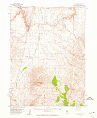
1957 · Delaplain
USGS Topo · 1:62,500

1958 · Wells
USGS Topo · 1:250,000

1961 · Wells
USGS Topo · 1:250,000
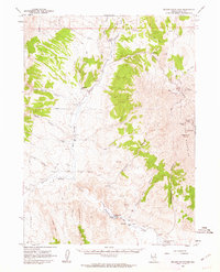
1961 · Delano Mountains
USGS Topo · 1:62,500
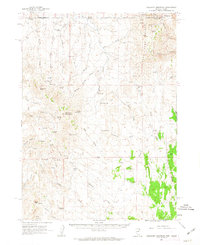
1961 · Gollaher Mountain
USGS Topo · 1:62,500
1968 · Knoll Mountain SE
USGS Topo · 1:24,000
1968 · Texas Spring
USGS Topo · 1:24,000
1980 · Dry Canyon
USGS Topo · 1:24,000
1982 · Jackpot
USGS Topo · 1:100,000