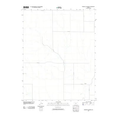
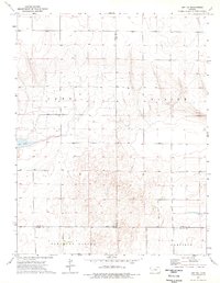
2009 Map of Eminence Cemetery
USGS Topo · Published 2009About this map
Eminence Cemetery serves as the focal point of this high-plains landscape in Finney County, positioned near the junction of E Eminence Rd and N Brown Rd. This 2009 survey illustrates a rural Kansas environment defined by a sparse but organized grid of local roads, including N Hund Rd and E Meeker Rd, which navigate the open terrain. The most significant natural feature is the winding path of the Pawnee River in the southeastern corner, its course creating a sharp contrast to the geometric section lines of the surrounding agricultural lands. The map captures a moment of modern land management where long-established family names or identifiers, preserved in road designations like E Huschka Rd and E Martin Rd, anchor the contemporary geography to its local history.
Find a feature on this map
10 named features on this map. Tap any name to fly to it.
Don’t see what you’re looking for? This feature index may not catch every label — zoom into the map to look around manually.
Map Details
Editions of this 2009 Eminence Cemetery Map
This is the sole edition of this map. No revisions or reprints were ever made.
Other maps of this area

1955 · Scott City
USGS Topo · 1:250,000

1958 · Scott City
USGS Topo · 1:250,000
1974 · Ravanna
USGS Topo · 1:24,000
1974 · Scott City 4 SW
USGS Topo · 1:24,000
1974 · Scott City 4 SE
USGS Topo · 1:24,000
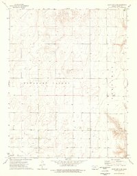
1974 · Scott City 4 NW
USGS Topo · 1:24,000
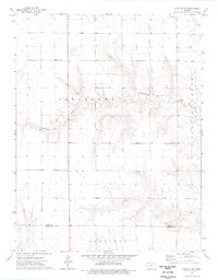
1974 · Dighton SW
USGS Topo · 1:24,000
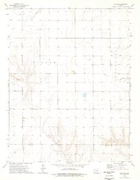
1974 · Amy SE
USGS Topo · 1:24,000
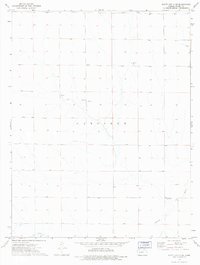
1974 · Scott City 4 NE
USGS Topo · 1:24,000
1974 · Amy SW
USGS Topo · 1:24,000