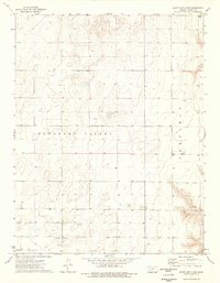
1974 Map of Scott City 4 NW
USGS Topo · Published 1976About this map
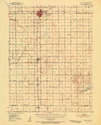
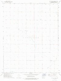
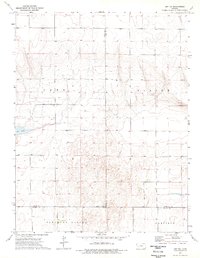
Pleasant Valley and the Garfield terrain define this High Plains landscape in western Kansas during the mid-1970s. This area of Finney County reflects a specialized agricultural and industrial pattern, where traditional land divisions meet modern energy extraction. The map captures a high density of Gas Wells and an exploratory Drill Hole, particularly concentrated in the southwestern sections.
Find a feature on this map
8 named features on this map. Tap any name to fly to it.
Don’t see what you’re looking for? This feature index may not catch every label — zoom into the map to look around manually.
Map Details
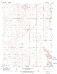
Editions of this 1974 Scott City 4 NW Map
2 editions found
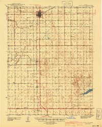
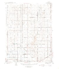
Other maps of this area
1940 · Scott City
USGS Topo · 1:62,500
1944 · Tennis
USGS Topo · 1:62,500
1951 · Scott City
USGS Topo · 1:62,500

1955 · Scott City
USGS Topo · 1:250,000

1958 · Scott City
USGS Topo · 1:250,000
1974 · Scott City 4 SW
USGS Topo · 1:24,000
1974 · Scott City 4 SE
USGS Topo · 1:24,000
1974 · Amy SE
USGS Topo · 1:24,000
1974 · Scott City 4 NE
USGS Topo · 1:24,000
1974 · Amy SW
USGS Topo · 1:24,000