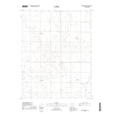
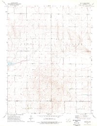
2018 Map of Eminence Cemetery
USGS Topo · Published 2018About this map
Eminence Cem stands as a focal point of local history in this section of Finney County, overlooking the meandering path of the Pawnee River. This 2018 survey reveals a landscape defined by the rigid grid of the Public Land Survey System, where agricultural tracts are partitioned by an extensive network of rural roads including E Meeker Rd, E Eminence Rd, and N Hund Rd. The terrain is characterized by the subtle drainage patterns feeding into the Pawnee, creating a series of draws and rises across the high plains. The map provides a precise record of contemporary property boundaries and land use, documenting the enduring legacy of early settlement through its namesake cemetery and the family-named thoroughfares like E Wiebe Rd and N Ochs Rd that crisscross the quadrangle.
Find a feature on this map
20 named features on this map. Tap any name to fly to it.
Don’t see what you’re looking for? This feature index may not catch every label — zoom into the map to look around manually.
Map Details
Editions of this 2018 Eminence Cemetery Map
This is the sole edition of this map. No revisions or reprints were ever made.
Other maps of this area

1955 · Scott City
USGS Topo · 1:250,000

1958 · Scott City
USGS Topo · 1:250,000
1974 · Ravanna
USGS Topo · 1:24,000
1974 · Scott City 4 SW
USGS Topo · 1:24,000
1974 · Scott City 4 SE
USGS Topo · 1:24,000
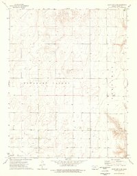
1974 · Scott City 4 NW
USGS Topo · 1:24,000
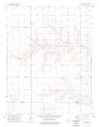
1974 · Dighton SW
USGS Topo · 1:24,000
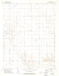
1974 · Amy SE
USGS Topo · 1:24,000
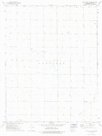
1974 · Scott City 4 NE
USGS Topo · 1:24,000
1974 · Amy SW
USGS Topo · 1:24,000