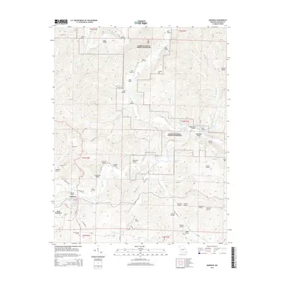
2015 Map of Eminence
USGS Topo · Published 2015About this map
Eminence and West Eminence serve as the central hubs for this region of the Ozarks, where the confluence of the Current River and Jacks Fork dictates the landscape's character. As part of the Ozark National Scenic Riverways, the area preserves a complex system of springs and hollows, including the notable Ebb and Flow Spring and Slater Spring. The map reveals a deeply etched topography where family-named landmarks like Jerktail Mtn and Bald Knob Hollow rise above the river bends.
Find a feature on this map
94 named features on this map. Tap any name to fly to it.
Don’t see what you’re looking for? This feature index may not catch every label — zoom into the map to look around manually.
Map Details
Editions of this 2015 Eminence Map
This is the sole edition of this map. No revisions or reprints were ever made.
Other maps of this area

1915 · Eminence
USGS Topo · 1:62,500

1917 · Eminence
USGS Topo · 1:62,500

1928 · Cardareva
USGS Topo · 1:62,500

1944 · Corridon
USGS Topo · 1:62,500

1945 · Round Spring
USGS Topo · 1:62,500

1947 · Sinkin
USGS Topo · 1:48,000

1947 · Corridon
USGS Topo · 1:62,500

1949 · Round Spring
USGS Topo · 1:62,500

1949 · Rolla
USGS Topo · 1:250,000

1949 · Cardareva
USGS Topo · 1:62,500