Loading...
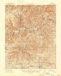
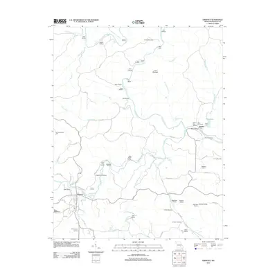
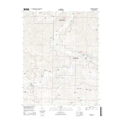
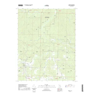
Loading map...1915 Map of Eminence
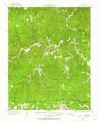
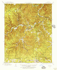
USGS Topo · Published 1961About this map
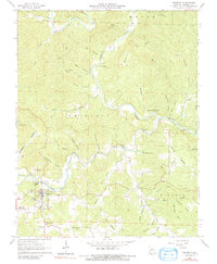
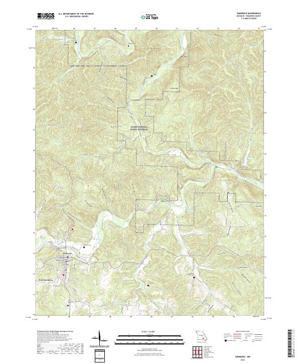
The Current River and Jacks Fork river systems dominate this Missouri Ozarks landscape, carving deep hollows and providing the primary corridors for settlement and transportation. At the confluence, Eminence and West Eminence serve as central hubs, while smaller, more isolated outposts like Horse Hollow and Delaware are scattered across the wooded hills. The ruggedness of the terrain is evident in the dozens of named hollows, including Coppermine Hollow and Ice Log Hollow, which reflect early local industry and navigation.
Find a feature on this map
87 named features on this map. Tap any name to fly to it.
Don’t see what you’re looking for? This feature index may not catch every label — zoom into the map to look around manually.
Map Details
Date Portrayed1915
Date Published1961
PublisherU.S. Geological Survey
Map TypeTopographic
Scale1:62,500
Physical Dimensions16.9 x 20.7 inches
Editions of this 1915 Eminence Map
2 editions found
Historical Maps of Winona Through Time
7 maps found
Featured Locations
Source Details
SourceU.S. Geological Survey
CopyrightPublic Domain