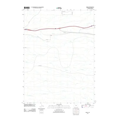
2012 Map of Emkay
USGS Topo · Published 2012About this map
Otto and Granite Canon serve as the primary landmarks in this Laramie County landscape, situated along the critical transportation corridor of the Union Pacific corridor and Interstate 80. The terrain is defined by an intricate network of eastward-flowing prairie streams, including Dry Cr, Corlett Cr, and Lone Tree Cr, which carve subtle drainage patterns across the high plains. The map illustrates a transitional rural economy where traditional cattle ranching routes like Goose Creek Rd intersect with industrial infrastructure, notably Oilfield Rd. This 2012 survey provides a clear view of the modern ranching and energy landscape, documenting the various county roads and range lines that grid the open territory between Willow Cr and Spotwood Cr.
Find a feature on this map
19 named features on this map. Tap any name to fly to it.
Don’t see what you’re looking for? This feature index may not catch every label — zoom into the map to look around manually.
Map Details
Editions of this 2012 Emkay Map
This is the sole edition of this map. No revisions or reprints were ever made.
Other maps of this area

1905 · Sherman
USGS Topo · 1:125,000

1907 · Livermore
USGS Topo · 1:125,000

1908 · Eaton
USGS Topo · 1:125,000

1909 · Livermore
USGS Topo · 1:125,000

1910 · Eaton
USGS Topo · 1:125,000

1911 · Cheyenne
USGS Topo · 1:125,000

1914 · Cheyenne
USGS Topo · 1:125,000

1950 · Cheyenne
USGS Topo · 1:62,500

1954 · Cheyenne
USGS Topo · 1:250,000

1954 · Greeley
USGS Topo · 1:250,000