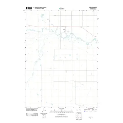
2011 Map of Emmet
USGS Topo · Published 2011About this map
The meandering Elkhorn River defines the central corridor of this Holt County landscape, carving a complex path through the Nebraska plains. The settlement of Emmet sits just north of the river's bend, where the Emmet Post Office serves as a local anchor for the surrounding rural community. The terrain is defined by its water systems, including the northern Welsh Lake and the southern flow of Holt Creek, which drains toward the Elkhorn. A grid of section roads like 874th Rd and 485th Ave facilitates agricultural access, while the historical route of the Old Hwy parallels the more modern thoroughfares. This survey provides a clear view of the geographic relationship between the town site and the natural drainage patterns of the Sandhills region.
Find a feature on this map
16 named features on this map. Tap any name to fly to it.
Don’t see what you’re looking for? This feature index may not catch every label — zoom into the map to look around manually.
Map Details
Editions of this 2011 Emmet Map
This is the sole edition of this map. No revisions or reprints were ever made.
Other maps of this area

1954 · Atkinson SE
USGS Topo · 1:24,000

1954 · Atkinson
USGS Topo · 1:24,000

1954 · Meek SW
USGS Topo · 1:24,000

1955 · O'Neill
USGS Topo · 1:250,000

1958 · O'Neill
USGS Topo · 1:24,000

1959 · O'Neill
USGS Topo · 1:250,000

1964 · Emmet NW
USGS Topo · 1:24,000

1964 · Emmet SE
USGS Topo · 1:24,000

1964 · Emmet SW
USGS Topo · 1:24,000

1964 · O'Neill SW
USGS Topo · 1:24,000