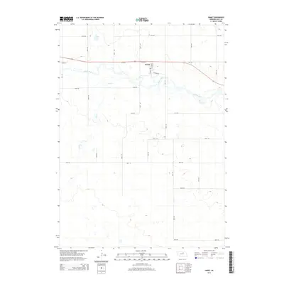
2014 Map of Emmet
USGS Topo · Published 2014About this map
Emmet serves as the focal point of this Holt County landscape, situated along a prominent east-west transportation corridor. The settlement is defined by a grid of local streets including S Main St, W Front St, and S 1st St. Just south of the town center, the Elkhorn River meanders through a wide floodplain, characterized by numerous oxbows and marshy depressions that suggest a dynamic riparian environment. To the north, Welsh Lake sits amidst the prairie, while Holt Cr flows from the southwest toward its eventual confluence with the river. The surrounding terrain is heavily partitioned by a precise network of section-line roads, such as 874th Rd and 484th Ave, reflecting the enduring agricultural structure of the Nebraska plains in the early 21st century.
Find a feature on this map
24 named features on this map. Tap any name to fly to it.
Don’t see what you’re looking for? This feature index may not catch every label — zoom into the map to look around manually.
Map Details
Editions of this 2014 Emmet Map
This is the sole edition of this map. No revisions or reprints were ever made.
Other maps of this area
1954 · Atkinson SE
USGS Topo · 1:24,000
1954 · Atkinson
USGS Topo · 1:24,000
1954 · Meek SW
USGS Topo · 1:24,000
1955 · O'Neill
USGS Topo · 1:250,000
1958 · O'Neill
USGS Topo · 1:24,000
1959 · O'Neill
USGS Topo · 1:250,000
1964 · Emmet NW
USGS Topo · 1:24,000
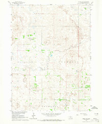
1964 · Emmet SE
USGS Topo · 1:24,000
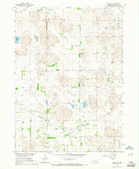
1964 · Emmet SW
USGS Topo · 1:24,000
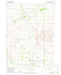
1964 · O'Neill SW
USGS Topo · 1:24,000