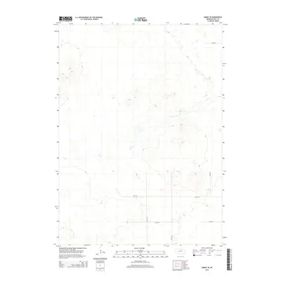
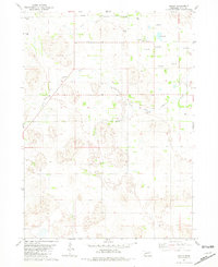
2014 Map of Emmet SE
USGS Topo · Published 2014About this map
Dry Cr meanders across this rural section of Holt County, defining a landscape marked by intermittent watercourses and shifting elevation contours. The terrain here is shaped by a complex series of depressions and rises, characteristic of the Nebraska Sandhills periphery. Human impact is primarily reflected in the rigid section-line road grid, including 865th Rd and Maple Rd, which carve the open range into manageable tracts for ranching. This 2014 survey documents the persistence of these pastoral boundaries and the localized drainage patterns of Dry Cr in a region where water is a vital, seasonal resource. The map provides a clear view of the sparse infrastructure, such as 484th Ave and 485th Ave, that supports the remote agricultural operations in the area southeast of Emmet.
Find a feature on this map
7 named features on this map. Tap any name to fly to it.
Don’t see what you’re looking for? This feature index may not catch every label — zoom into the map to look around manually.
Map Details
Editions of this 2014 Emmet SE Map
This is the sole edition of this map. No revisions or reprints were ever made.
Other maps of this area

1955 · O'Neill
USGS Topo · 1:250,000
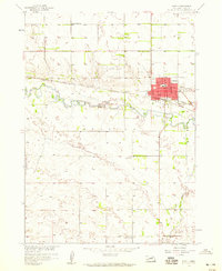
1958 · O'Neill
USGS Topo · 1:24,000

1959 · O'Neill
USGS Topo · 1:250,000
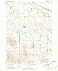
1964 · Emmet NW
USGS Topo · 1:24,000
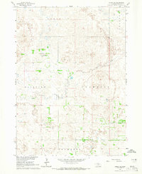
1964 · Emmet SE
USGS Topo · 1:24,000
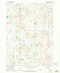
1964 · Emmet SW
USGS Topo · 1:24,000
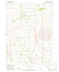
1964 · O'Neill SW
USGS Topo · 1:24,000
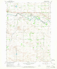
1964 · Emmet
USGS Topo · 1:24,000
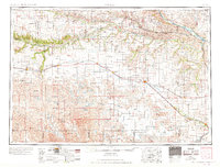
1969 · O'Neill
USGS Topo · 1:250,000
1981 · Amelia
USGS Topo · 1:24,000