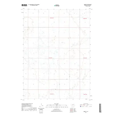
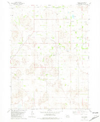
2017 Map of Emmet SE
USGS Topo · Published 2017About this map
Dry Cr winds through this section of Holt County, defining a landscape of wetlands and intermittent waterways in north-central Nebraska. The area is structured by a network of rural section-line roads, including 485 Ave, 484 Ave, and 858 Rd, which serve the sparse agricultural settlements of the region. This 2017 survey illustrates a specialized high-plains environment where water drainage and land management are closely linked to the local topography. The map detail reflects the transition from open range to organized farm plots, with numerous small ponds and depressions scattered across the townships of T27N R13W and T28N R13W, indicating the subtle shifts in elevation that characterize the local watershed.
Find a feature on this map
12 named features on this map. Tap any name to fly to it.
Don’t see what you’re looking for? This feature index may not catch every label — zoom into the map to look around manually.
Map Details
Editions of this 2017 Emmet SE Map
This is the sole edition of this map. No revisions or reprints were ever made.
Other maps of this area

1955 · O'Neill
USGS Topo · 1:250,000
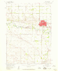
1958 · O'Neill
USGS Topo · 1:24,000

1959 · O'Neill
USGS Topo · 1:250,000
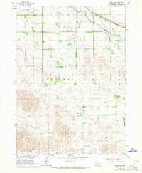
1964 · Emmet NW
USGS Topo · 1:24,000
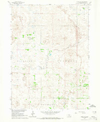
1964 · Emmet SE
USGS Topo · 1:24,000
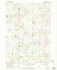
1964 · Emmet SW
USGS Topo · 1:24,000
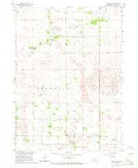
1964 · O'Neill SW
USGS Topo · 1:24,000
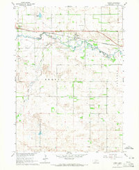
1964 · Emmet
USGS Topo · 1:24,000
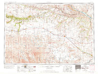
1969 · O'Neill
USGS Topo · 1:250,000
1981 · Amelia
USGS Topo · 1:24,000