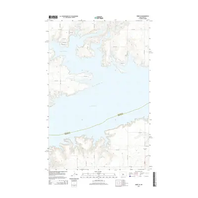
2014 Map of Emmet SE
USGS Topo · Published 2014About this map
Lake Sakakawea dominates the central landscape of this McLean County survey, where the massive reservoir meets the northern banks of the Missouri River valley. The water’s complex shoreline forms Douglas Creek Bay to the north, fed by the winding channel of Douglas Cr. Along the northern uplands, a network of rural roads such as Ulrich Rd, Bay View Dr, and Iglehart Rd S service localized residential developments and recreational access points overlooking the water. In the southeastern portion of the map, the terrain transitions into a more traditional agricultural grid south of the lake. Here, the Geminde Cem sits near ND-200, serving as a quiet focal point for local genealogy. The boundary between McLean Co and Mercer Co is traced directly through the open water of the lake, reflecting the modern geography created by mid-century river management.
Find a feature on this map
19 named features on this map. Tap any name to fly to it.
Don’t see what you’re looking for? This feature index may not catch every label — zoom into the map to look around manually.
Map Details
Editions of this 2014 Emmet SE Map
This is the sole edition of this map. No revisions or reprints were ever made.
Other maps of this area
1922 · Garrison
USGS Topo · 1:62,500
1948 · Stanton
USGS Topo · 1:62,500
1949 · Stanton
USGS Topo · 1:62,500
1954 · McClusky
USGS Topo · 1:250,000
1956 · Emmet NE
USGS Topo · 1:24,000
1956 · Emmet
USGS Topo · 1:24,000
1958 · McClusky
USGS Topo · 1:250,000
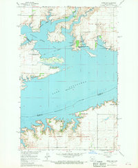
1967 · Emmet SE
USGS Topo · 1:24,000
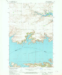
1967 · Emmet SW
USGS Topo · 1:24,000
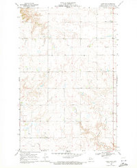
1969 · Hazen NE
USGS Topo · 1:24,000