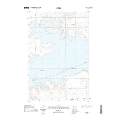
2020 Map of Emmet SE
USGS Topo · Published 2020About this map
Lake Sakakawea dominates the landscape where the Missouri River has been transformed into a large reservoir, creating a complex shoreline of points and bays. To the north, Douglas Creek Bay marks the mouth of Douglas Cr, showing how the impounded water follows the original drainage patterns of the prairie. The map reveals a high-plateau landscape divided into the traditional township and range grid, notably t148n r86w and t147n r85w. Cultural markers for genealogists and local historians include the Luther settlement area in the southeast, anchored by the Luther Gemeinde Cem. Further south, the Miller Cem sits near the section lines, while the border between McLean Co and Mercer Co bisects the open water, tracing the historical path of the submerged river channel.
Find a feature on this map
34 named features on this map. Tap any name to fly to it.
Don’t see what you’re looking for? This feature index may not catch every label — zoom into the map to look around manually.
Map Details
Editions of this 2020 Emmet SE Map
This is the sole edition of this map. No revisions or reprints were ever made.
Other maps of this area

1922 · Garrison
USGS Topo · 1:62,500

1948 · Stanton
USGS Topo · 1:62,500

1949 · Stanton
USGS Topo · 1:62,500

1954 · McClusky
USGS Topo · 1:250,000

1956 · Emmet NE
USGS Topo · 1:24,000

1956 · Emmet
USGS Topo · 1:24,000

1958 · McClusky
USGS Topo · 1:250,000

1967 · Emmet SE
USGS Topo · 1:24,000

1967 · Emmet SW
USGS Topo · 1:24,000

1969 · Hazen NE
USGS Topo · 1:24,000