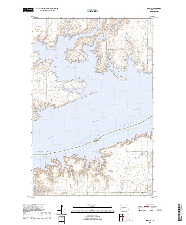
2024 Map of Emmet SE
USGS Topo · Published 2024About this map
Lake Sakakawea and the Missouri River dominate this modern landscape where the borders of McLean and Mercer counties meet in the center of the water. The intricate shoreline of Douglas Creek Bay defines the northern reaches, shaped by the rising waters of the mid-20th century that transformed the Missouri River valley into a vast reservoir. To the south, the terrain rises into the uplands where local history is preserved at the Luther Geminde Cem and Miller Cem. The map illustrates a rural network of roads such as Co Hwy 11 and Co Hwy 6 that connect the high ground above the flooded breaks, providing a clear view of how modern topography has been permanently altered by the Garrison Dam project downstream.
Find a feature on this map
34 named features on this map. Tap any name to fly to it.
Don’t see what you’re looking for? This feature index may not catch every label — zoom into the map to look around manually.
Map Details
Editions of this 2024 Emmet SE Map
This is the sole edition of this map. No revisions or reprints were ever made.
Other maps of this area

1922 · Garrison
USGS Topo · 1:62,500

1948 · Stanton
USGS Topo · 1:62,500

1949 · Stanton
USGS Topo · 1:62,500

1954 · McClusky
USGS Topo · 1:250,000

1956 · Emmet NE
USGS Topo · 1:24,000

1956 · Emmet
USGS Topo · 1:24,000

1958 · McClusky
USGS Topo · 1:250,000

1967 · Emmet SE
USGS Topo · 1:24,000

1967 · Emmet SW
USGS Topo · 1:24,000

1969 · Hazen NE
USGS Topo · 1:24,000