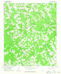
1964 Map of Emory
USGS Topo · Published 1965About this map
Richland and Emory serve as the primary hubs in this mid-1960s interior landscape of Saluda County, where small agricultural communities are linked by a network of rural roads and the Old Railroad Grade. The map reveals a deeply rooted social geography, evidenced by numerous faith-based landmarks such as St Williams Ch, Good Hope Ch, and Ridge Branch Ch. Local genealogy is particularly well-represented through family and community burial grounds, including the Richland Springs Cem, Johnsons Cem, and McGee Cem.
Find a feature on this map
36 named features on this map. Tap any name to fly to it.
Don’t see what you’re looking for? This feature index may not catch every label — zoom into the map to look around manually.
Map Details
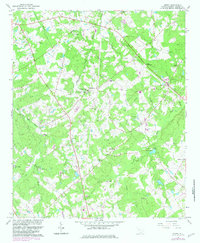
Editions of this 1964 Emory Map
2 editions found
Other maps of this area

1941 · Spartanburg
USGS Topo · 1:250,000

1953 · Spartanburg
USGS Topo · 1:250,000

1954 · Augusta
USGS Topo · 1:250,000

1957 · Augusta
USGS Topo · 1:250,000

1958 · Augusta
USGS Topo · 1:250,000

1960 · Spartanburg
USGS Topo · 1:250,000

1961 · Augusta
USGS Topo · 1:250,000

1962 · Augusta
USGS Topo · 1:250,000

1963 · Spartanburg
USGS Topo · 1:250,000

1964 · Spartanburg
USGS Topo · 1:250,000