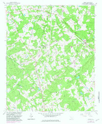
1964 Map of Emory
USGS Topo · Published 1982About this map
Richland and Emory anchor this rural landscape in Saluda County during the early 1960s, a region defined by a dense network of country churches and small family-named cemeteries. Spiritual life and community gatherings are central to the geography, evidenced by sites like Good Hope Ch, Amick Grove Ch, and the Richland Springs Community Center. The terrain is carved by numerous watercourses, including Richland Creek and Clouds Creek, which drain the wooded hills.
Find a feature on this map
33 named features on this map. Tap any name to fly to it.
Don’t see what you’re looking for? This feature index may not catch every label — zoom into the map to look around manually.
Map Details
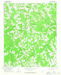
Editions of this 1964 Emory Map
2 editions found
Other maps of this area

1941 · Spartanburg
USGS Topo · 1:250,000

1953 · Spartanburg
USGS Topo · 1:250,000

1954 · Augusta
USGS Topo · 1:250,000

1957 · Augusta
USGS Topo · 1:250,000

1958 · Augusta
USGS Topo · 1:250,000

1960 · Spartanburg
USGS Topo · 1:250,000

1961 · Augusta
USGS Topo · 1:250,000

1962 · Augusta
USGS Topo · 1:250,000

1963 · Spartanburg
USGS Topo · 1:250,000

1964 · Spartanburg
USGS Topo · 1:250,000